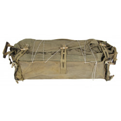
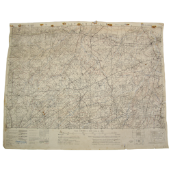
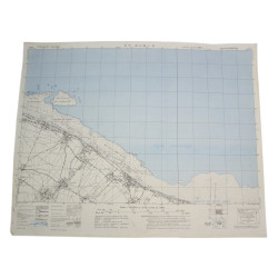
Rare genuine WWII British map, Ouistreham, Third Edition (Apr. 1944), Sheet No. 40/16 N.W., scale 1:25,000.
The present map covers a large area located south of the coastal towns of Hermanville-sur-Mer, Riva-Bella, Ouistreham, and Franceville-Plage, Calvados département, encompassing the estuary of the Orne River and reaching the Northern outskirts of Caen at Colombelles.
This perimeter thus encompasses a part of Sword Beach -- where Kieffer's Free French Commandos took the casino at Ouistreham -- along with a big portion of the 6th British Airborne Division drop zones and landing zones, including the towns of Bénouville and Ranville, connected by the now famous swing bridge known as 'Pegasus Bridge'.
Edited by the General Staff-Geographical Section of the War Office.
Very good overall condition. Dimensions: 19.6in x 24.4in.
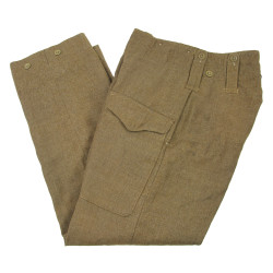
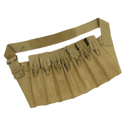
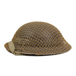
You might also like
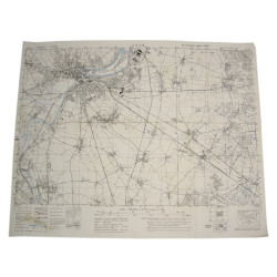
Rare genuine WWII British map, Ouistreham, Third Edition (Apr. 1944), Sheet No. 40/16 N.W., scale 1:25,000.
The present map covers a large area located south of the coastal towns of Hermanville-sur-Mer, Riva-Bella, Ouistreham, and Franceville-Plage, Calvados département, encompassing the estuary of the Orne River and reaching the Northern outskirts of Caen at Colombelles.
This perimeter thus encompasses a part of Sword Beach -- where Kieffer's Free French Commandos took the casino at Ouistreham -- along with a big portion of the 6th British Airborne Division drop zones and landing zones, including the towns of Bénouville and Ranville, connected by the now famous swing bridge known as 'Pegasus Bridge'.
Edited by the General Staff-Geographical Section of the War Office.
Very good overall condition. Dimensions: 19.6in x 24.4in.