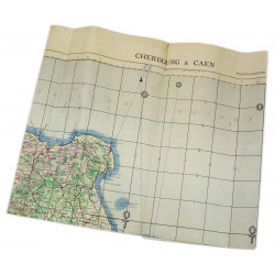
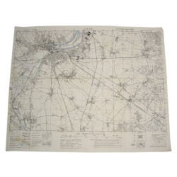
Rare genuine WWII British map, St Lô-Vire, Sheet 6 F, Second Edition, scale 1:100,000. Dated 1943.
This map covers a large perimeter of the Manche département and the South-Western fringes of the Calvados département, from Lessay to Le Molay-Littry and from Sartilly to Vire, including the towns of Périers, Saint-Lô, Coutances, Torigni-sur-Vire, Granville, and Villedieu-les-Poêles.
Edited by the General Staff-Geographical Section of the War Office.
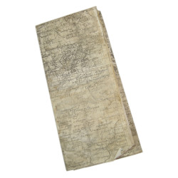
Quite good overall condition. Dimensions: 25.5in x 35in.
You might also like
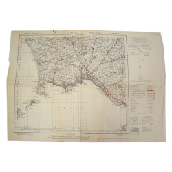
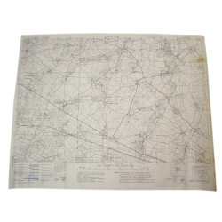
Rare genuine WWII British map, St Lô-Vire, Sheet 6 F, Second Edition, scale 1:100,000. Dated 1943.
This map covers a large perimeter of the Manche département and the South-Western fringes of the Calvados département, from Lessay to Le Molay-Littry and from Sartilly to Vire, including the towns of Périers, Saint-Lô, Coutances, Torigni-sur-Vire, Granville, and Villedieu-les-Poêles.
Edited by the General Staff-Geographical Section of the War Office.
Quite good overall condition. Dimensions: 25.5in x 35in.