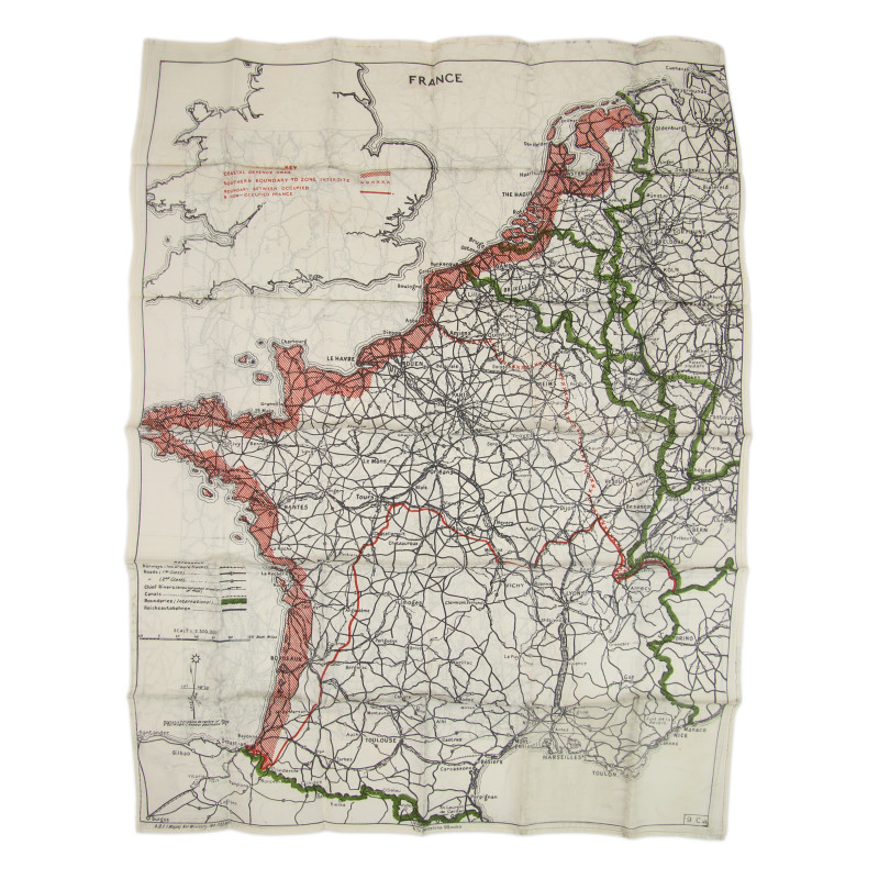


Rare genuine WWII British double-sided silk escape map, ADI (Maps) Air Ministry No. 7329A, heat-treated to prevent the cloth from unravelling. This is one of the earliest series of silk escape maps produced by Bartholomew of Edinburgh on behalf of the MI 9 and intended for being issued to RAF and USAAF aicrews flying of enemy-occupied Europe.
The first side covers France, Belgium, Luxembourg and the Netherlands, along with the border regions of Germany, Switzerland, Italy and Spain; the demarcation line between the German-occupied zone and the so-called 'free' zone are clearly visible, as well as the main roads, railroad tracks, and waterways -- all invaluable information for any fugitive trying to make it back to Britain; scale 1:2,350,000, number 9.C.(a).
The second side covers Germany and most of Central Europe, showing the international borders of 1939 and 1941; scale 1:2,000,000, number 9.U.
Perfect condition.
You might also like