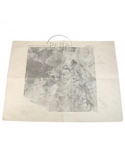
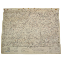
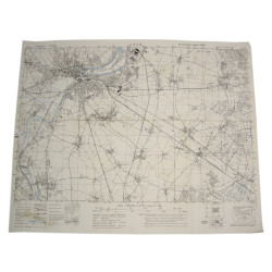
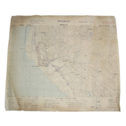
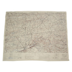
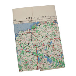
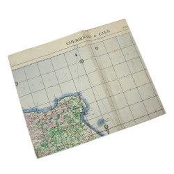
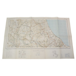
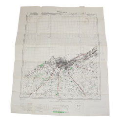
Genuine WWII Allied map, Drunen, Holland, First Edition-AMS 1, Sheet 10 S.E., scale 1:25,000.
Based on a version drawn by the British General Staff-Geographical Section in 1943 and edited by the US Army, the present map, which was initially drawn from previous Dutch and French maps and completed by aerial reconnaissance photos, covers the village of Drunen, North Brabant, and its surroundings.
God overall condition; the censorship ink stamp is visible on the reverse, under name Emery Allen. Cpl. Allen T. Emery, mortarman, Hq. Co., 3rd Bn., 502nd PIR, 101st Airborne, fought in Normandy and Holland.
Dimensions: 22in x 29.7in.
Photo of Emery available in digital format only.
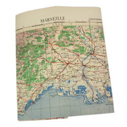
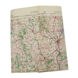
You might also like
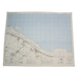
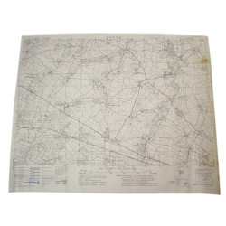
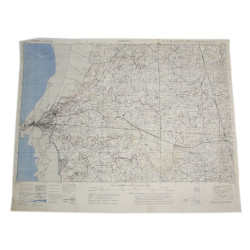
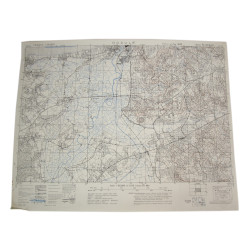
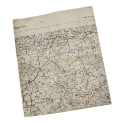
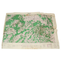
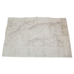
Genuine WWII Allied map, Drunen, Holland, First Edition-AMS 1, Sheet 10 S.E., scale 1:25,000.
Based on a version drawn by the British General Staff-Geographical Section in 1943 and edited by the US Army, the present map, which was initially drawn from previous Dutch and French maps and completed by aerial reconnaissance photos, covers the village of Drunen, North Brabant, and its surroundings.
God overall condition; the censorship ink stamp is visible on the reverse, under name Emery Allen. Cpl. Allen T. Emery, mortarman, Hq. Co., 3rd Bn., 502nd PIR, 101st Airborne, fought in Normandy and Holland.
Dimensions: 22in x 29.7in.
Photo of Emery available in digital format only.