


Map, German, Normandy, 1943
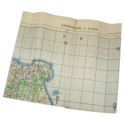
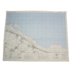
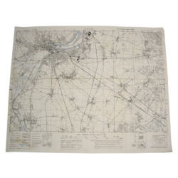
Genuine WWII German map, showing no title, made up of an assembly of two pieces taken from different maps. In the center, one can see scale 1:50,000 and date 1943 when holding the map up to the light -- this actually corresponds to the bottom of the upper part.
This map covers a large perimeter located south of Caen, astride the Calvados and Orne départements, which encompasses the towns of Thury-Harcourt and Flers (among others), as well as the Grimbosq and Cinglais forests. This area is known as Suisse normande -- 'Norman Swiss' -- due to its altitude and landscape.
Used condition.
Dimensions: 25.6in x 32in.
Product Details
You might also like
Genuine WWII German map, showing no title, made up of an assembly of two pieces taken from different maps. In the center, one can see scale 1:50,000 and date 1943 when holding the map up to the light -- this actually corresponds to the bottom of the upper part.
This map covers a large perimeter located south of Caen, astride the Calvados and Orne départements, which encompasses the towns of Thury-Harcourt and Flers (among others), as well as the Grimbosq and Cinglais forests. This area is known as Suisse normande -- 'Norman Swiss' -- due to its altitude and landscape.
Used condition.
Dimensions: 25.6in x 32in.