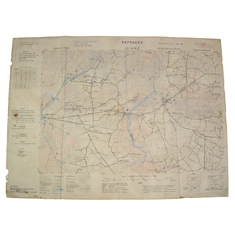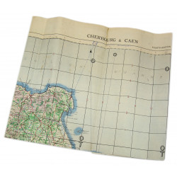


Rare carte britannique intitulée Isigny, Sheet 34/18 S.W., d'origine Deuxième Guerre, à l'échelle 1/25 000e.
Cette carte portant la mention Top Secret couvre l'ensemble des défenses allemandes du périmètre comprenant Brévands, Carentan (Est), Montmartin-en-Graignes et Isigny.
Éditée par le General Staff-Geographical Section du War Office. Seconde édition, avril 1944.
Exemplaire dans son jus, en assez bon état général, retrouvé en Normandie.
Dimensions : 53 x 71 cm.
Vous allez aussi aimer

Rare carte britannique intitulée Isigny, Sheet 34/18 S.W., d'origine Deuxième Guerre, à l'échelle 1/25 000e.
Cette carte portant la mention Top Secret couvre l'ensemble des défenses allemandes du périmètre comprenant Brévands, Carentan (Est), Montmartin-en-Graignes et Isigny.
Éditée par le General Staff-Geographical Section du War Office. Seconde édition, avril 1944.
Exemplaire dans son jus, en assez bon état général, retrouvé en Normandie.
Dimensions : 53 x 71 cm.
Les objets historiques proposés par le magasin PARATROOPER sont destinés aux collectionneurs, amateurs d’histoire, historiens ou conservateurs de musée.
Ces pièces ne font l’apologie d’aucune tendance politique, idéologique ou raciale à l’origine des deux conflits mondiaux les plus sanglants de l’histoire.
Par ailleurs, nous vous rappelons que l’article R.645-1 du Code pénal punit de l’amende prévue pour les contraventions de cinquième classe (sauf pour les besoins d'un film, d'un spectacle ou d'une exposition comportant une évocation historique) le port ou l’exhibition en public d’un uniforme, insigne ou emblème rappelant ceux portés par les membres d’une organisation déclarée criminelle en application de l'article 9 du Statut du tribunal militaire international de Nuremberg annexé à l'Accord de Londres du 8 août 1945 : SS, SD, Gestapo, corps des chefs nazis (le Führer, la Reichsleitung, les Gauleiters et leurs principaux collaborateurs, les Kreitsleiter et leurs collaborateurs, les Ortsgruppenleiter, les Zellenleiter et les Blockleiter) ou par toute personne reconnue coupable par une juridiction française ou internationale d'un ou plusieurs crimes contre l'humanité prévus par les articles 211-1 à 212-3 ou mentionnés par la loi n° 64-1326 du 26 décembre 1964.
Le Code prévoit des peines complémentaires, telles que la confiscation des objets ayant servi ou destinés à commettre l’infraction.

